BLM: Needles Map
4.00
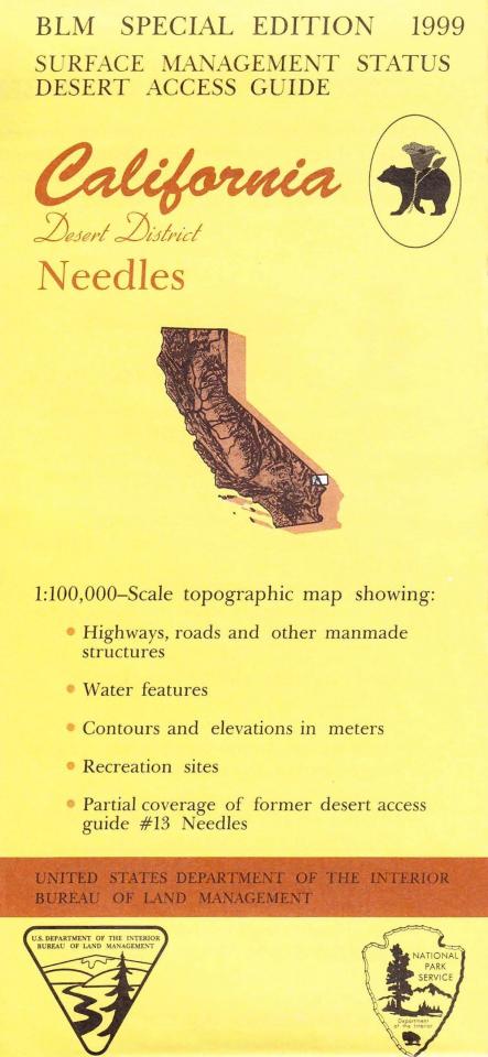
Applies to: Arizona; California. In Arizona map shows expansive BLM lands with camping, hiking, OHV driving, and scenic driving opportunities; Havasu National Wildlife Refuge with camping, hiking, boating, and fishing; and Needles Wilderness with hiking trails; all east of the Colorado River. From Needles CA explore extensive BLM lands and BLM wildernesses with opportunities for hiking, horseback riding, 4 wheel driving, and rock collecting. Colorado River recreation includes boating and fishing. Official Bureau of Land Management metric topographic map @1:100,000 scale (roughly 3/4"=1 mile), color-coded to show surface management, i.e. agency vs. private or tribal ownership. Map shows roads, water features, recreation sites, points of interest, and the township and range lines. Maps show trails, roads, and developed recreation areas such as campgrounds. Backside of map has extensive information about the designated 25 million acre California Desert Conservation Area. Includes descriptive information about the places on the map, along with available recreational activities such as camping, hiking, horseback riding, and 4 Wheel/OHV driving. Use map for CA Deer Hunting Units D12 and D17, and Arizona Hunting Units 16A, 16B, and 150. 1999